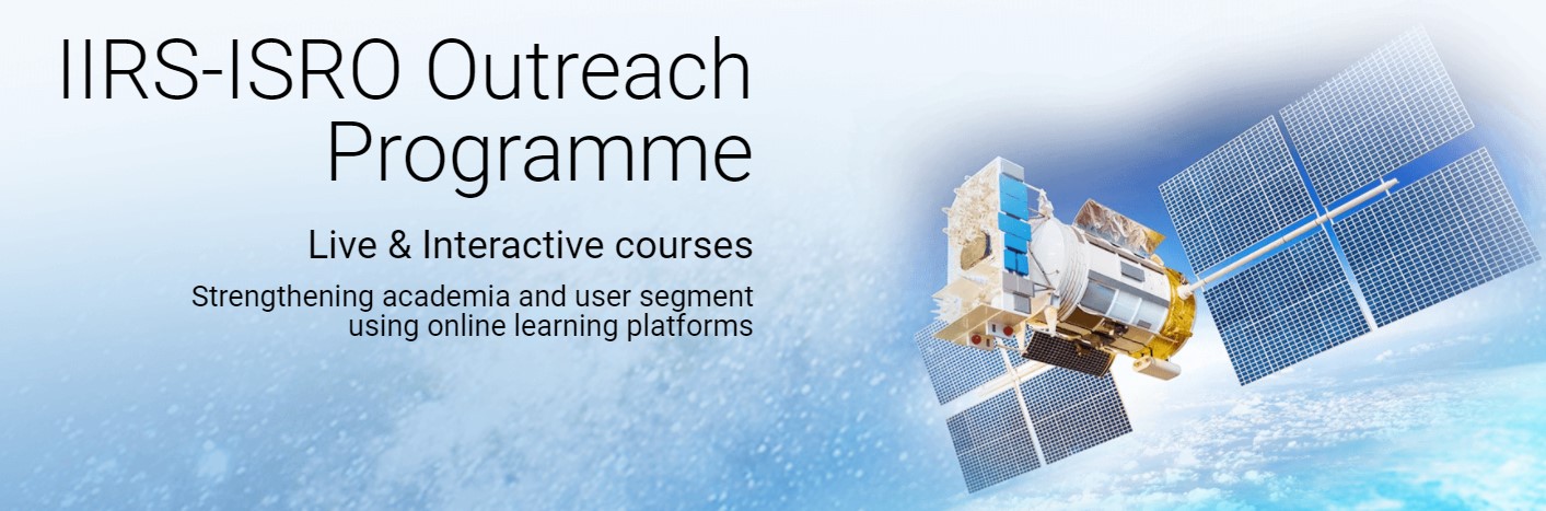
IIRS Outreach Programme
Our organization is a network institute of IIRS outreach programme. The name of our Institute is included in online application form of IIRS Outreach Programme. The course is open for all Students of undergraduate course and Postgraduate course (any year), Technical Staff, Faculty and Researchers. There is no course fee. It’s absolutely a free of cost programme. Certificates will be awarded based on 70% attendance and submission of assignments for Working Professionals and 70% attendance and online examination for Students.
About the Courses
Remote Sensing and Geoinformation Science have become key technology tools for the collection, storage and analysis of spatially referenced data for resource planning and decision making. Today it is the backbone to many decision-making systems and location-based services emerging in the New Information Economy. Planners and decision makers' that utilise these Geo-spatial technologies for variety of applications in forestry, mining, water resources, environmental analysis as well as the infrastructure.
The live and interactive mode of distance learning is enabled through Internet and A-view software platform developed by Amrita e-learning Lab in collaboration with Ministry of Human Resource Development (MHRD) Government of India. The programs are available through Internet without any cost to the user. The live and interactive sessions will be conducted by experts from IISR-ISRO and other knowledge Institutions.
IIRS also conducts various theme oriented online courses and monthly webinars on recent topics on geospatial technologies and its applications. Users are encouraged to actively participate on these programs. For more details, please visit IIRS official website - www.iirs.gov.in
IIRS E-Learning